Under the Conservation Science theme of the Southern African Wildlife College (SAWC) Strategy 2030, we are committed to harnessing cutting-edge scientific methods and data-driven insights to safeguard biodiversity and enhance ecosystem resilience. This overarching and holistic thematic area encompasses the protection, conservation, management, and restoration of biodiversity and natural resources – including ecosystem, species, and genetic diversity – in the face of pressures such as land use change and climate variability. It also involves active collaboration with Institutions of Higher Learning across the Southern African Development Community (SADC) and beyond, raising SAWC’s profile, enabling programme articulation, and supporting student progression where applicable. This focus ensures that our actions remain both evidence-based and impactful.
Being Part of the Global Scholarship Program
From 9 to 27 June 2025, the SAWC hosted the Society for Conservation Geographic Information Systems (SCGIS) Global Scholarship Programme. Delivered in collaboration with SCGIS, Juniper GIS, and Esri, the programme brings together scholars from around the world to deepen their mastery of Geographic Information Systems (GIS) for conservation. Over three intensive weeks, participants explored ArcGIS Pro and ArcGIS Online, created story maps to communicate spatial data, and honed the skills needed to transform raw information into powerful conservation tools.
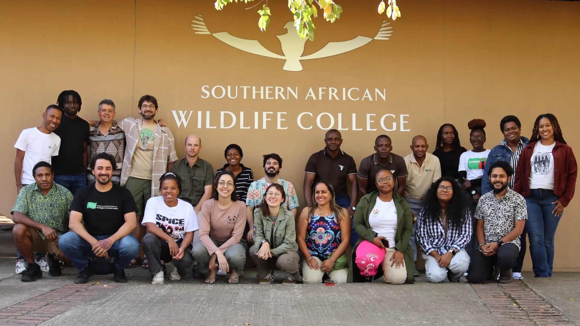
Central to this year’s programme was SCGIS’s Train the Trainer initiative, which develops former scholars into certified instructors. This cohort-building approach ensures that GIS expertise multiplies across regions – creating a global network of trainers who continue to support one another long after the workshop concludes. We are proud to celebrate the SAWC’s Higher Education Lecturer, Peter Hamming, who was selected as one of only two Train the Trainer candidates in 2025 – a milestone for SAWC’s growing GIS capacity.
As part of the programme’s practical application, scholars delivered presentations on their individual projects, showcasing how spatial analysis can illuminate wildlife movement, guide anti-poaching patrols, and mitigate human-wildlife conflict. A special mention goes to Cliford Nxumalo, SAWC’s Project Research Assistant/Researcher, who – having first joined the programme as a scholar in 2022 – returned this year to mentor peers during the final week, sharing his expertise in ArcGIS Online’s suite of solutions.
Two notable story maps created by Peter and Cliford are:
This collaboration with SCGIS, Juniper GIS, and Esri not only strengthens the SAWC’s Diploma in Applied Natural Resource Management but also supports our strategic goal of embedding technology as a multiplier for conservation impact. In the third year of the diploma, students will have the opportunity to gain practical GIS insights through the College’s longitudinal studies. By equipping emerging leaders with spatial storytelling techniques, we ensure that biodiversity data is translated into compelling narratives that inform policy, inspire communities, and drive real-world change.
We extend our heartfelt thanks to Leslie Backus, Mervyn Lotter, Carlos de Angelo, and Nico Lois of SCGIS, and to Miriam Schmidts and Canserina Kurnia of Esri, for their dedication and generosity in sharing their expertise. Their contributions have immeasurably enriched the SAWC’s GIS landscape and empowered a new generation of conservation scientists.